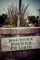
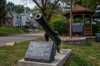
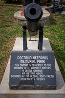
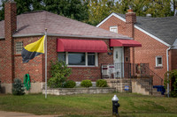
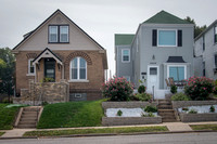
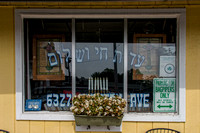
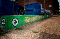
Photography of the Dogtown neighborhood in St. Louis, MO.
Dogtown is a traditionally Irish section of the city, best known for its annual St. Patrick’s Day Parade. It began in the mid-1800s, as a small mining community. The term 'dog' is a mining term, referring to a shelter near a mine. A "dog town" is a group of small shelters around mines. As such, it is quite common to find cities called "Dogtown" across the country.
St. Louis' Dogtown is located south of Forest Park, with its southeastern edge abutting the traditionally Italian neighborhood, known as
The Hill. Dogtown's boundaries are Oakland Avenue on the north, Macklind Avenue on the east, and McCausland Avenue on the west. Its southern boundary is generally Manchester Avenue, but between Hampton and Dale Avenues, the southern boundary extends to Interstate 44. Dogtown is not one of the 79 Neighborhoods of St. Louis recognized by the city government. Rather, it is an area that includes four neighborhoods, and part of a fifth: Clayton-Tamm, Franz Park, Hi-Pointe, Cheltenham and the eastern portion of Ellendale. Source:
http://bit.ly/1xhAp7T
© Anne Warfield Photography & Digital Art